Explore the Middle East with this free printable map coloring page, featuring countries like Jordan, Syria, and Egypt for educational fun.
Simple shapes, playful characters
about 1 year ago
This Middle East map design offers a perfect canvas for exploring geographical colors. Let your creativity flow and enjoy the process of bringing this artwork to life!
Colored pencils are excellent for precise coloring within country borders and for blending. Fine-tip markers can provide crisp, clean lines for defining boundaries. Watercolors can create soft, blended effects for larger regions, but require careful application to stay within lines.
Start by choosing a distinct color for each country. Use light, even pressure to fill large areas. Work systematically from one country to the next to avoid missing spots.
Experiment with color gradients within each country to show elevation or population density. Use different textures (e.g., stippling for deserts, smooth for water) to add visual interest. Consider a muted, earthy palette for historical accuracy or vibrant colors for a modern, artistic interpretation.
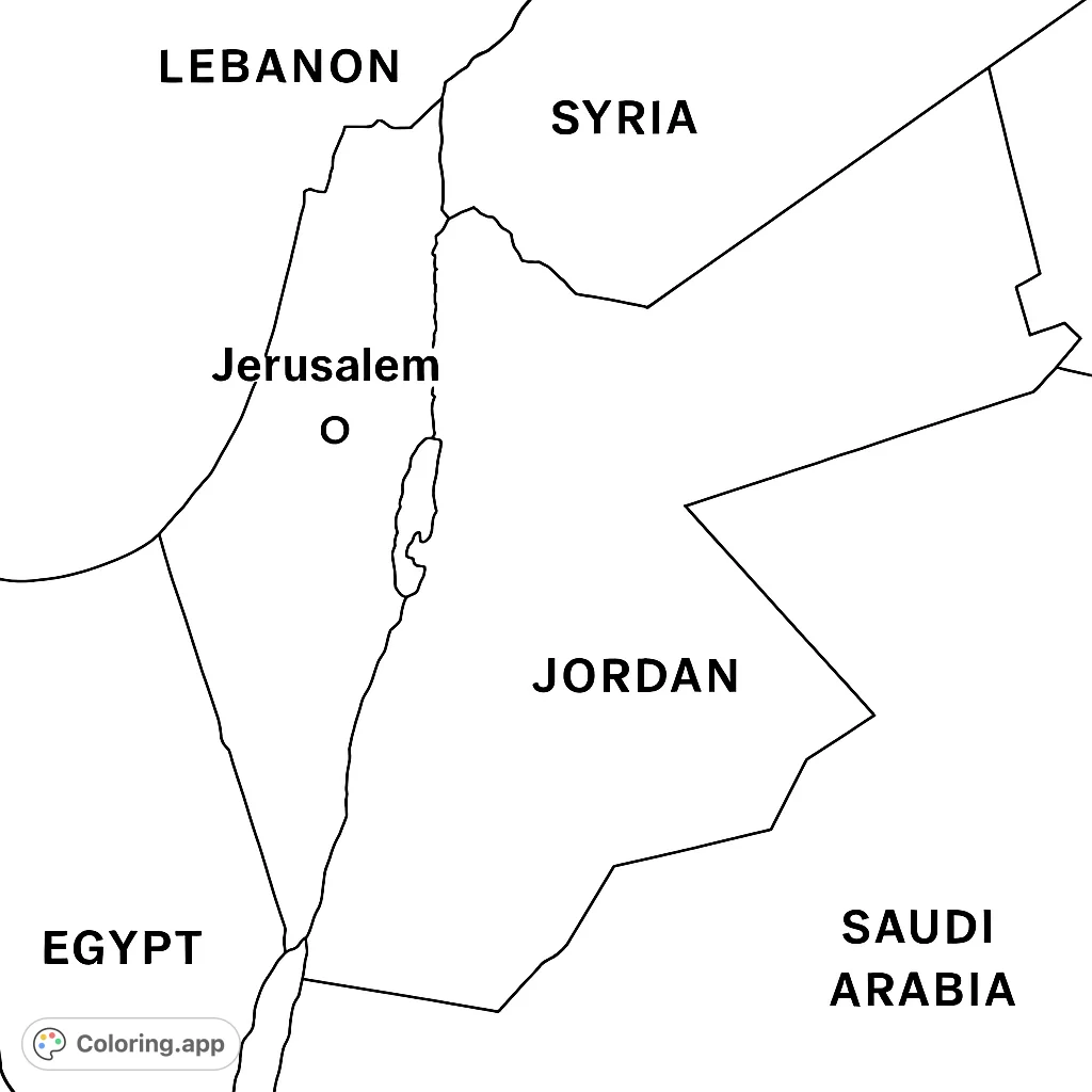
This Middle East map coloring page offers a free printable activity, perfect for learning geography. Engage with the distinct outlines of countries and bodies of water.
The primary feature is the clear, accurate outline of Middle Eastern countries, including the prominent Dead Sea and the marked location of Jerusalem. Each border is sharply defined, creating distinct areas.
The background is a clean, white canvas, allowing the black line art of the map to stand out. There are no additional elements, ensuring focus on geographical features.
This map coloring page is easy to medium complexity, suitable for all ages. It helps develop geographical knowledge, fine motor skills, and color recognition.
Personalize this educational map by coloring each country with unique shades, or use a consistent palette to highlight specific regions. Add your own labels or symbols after coloring for a custom learning tool.
Download this educational Middle East map coloring page today and transform your creative moments into lasting learning experiences.
This geography coloring page is excellent for children learning about world regions, helping them identify countries and major landmarks. It enhances fine motor skills and geographical awareness, making it a great free printable coloring page for classroom activities or homeschooling.
Adults can use this map for a relaxing, educational activity, perfect for mindfulness or as a study aid. It's a unique way to engage with world geography and create a personalized reference map.
Ideal for geography lessons, history projects, cultural studies, homeschooling resources, or as a quiet educational activity during travel planning.
Frame the colored map as educational wall art, use it as a visual aid for presentations, create custom placemats for a themed dinner, or incorporate it into a travel journal.
A clear, simplified political map of the Middle East. The map prominently features the countries of Lebanon, Syria, Jordan, Egypt, and Saudi Arabia, each clearly outlined by distinct borders. The city of Jerusalem is marked with a small circle and labeled. An elongated body of water, representing the Dead Sea, is depicted between the borders of Jordan and the land to its west. Each country's name is clearly labeled within its respective border.